
About EMS
The equipment behind turnkey work
We maintain an inventory of environmental, engineering, and support equipment at our facilities — so we can deliver cost-effective, timely, and technologically advanced services without subcontracting.
 Single-source provider
Our inventory
What we own and operate
- Two Geoprobe® rigs for soil and groundwater sampling
- Heavy equipment — trackhoes, bulldozers, and trucks — for site construction and remediation
- Specialized computer-integrated geophysical and GPS support equipment
- Survey-grade GPS for professional land surveying
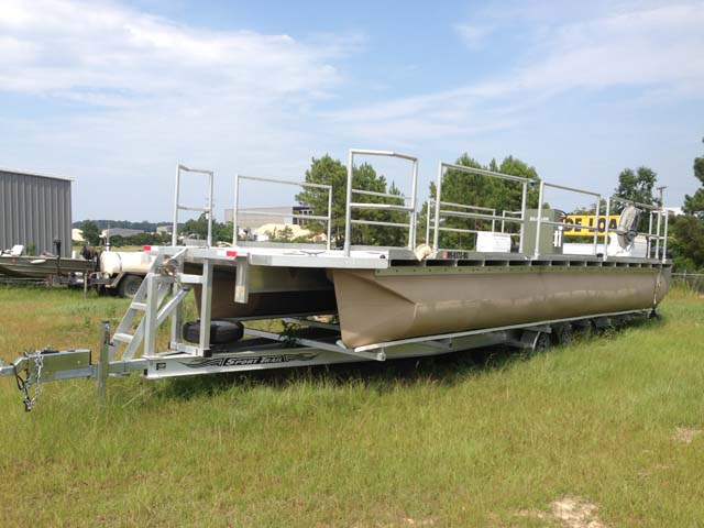
- Support equipment including boats, ATVs, and decontamination gear
- Aerial drone for site mapping and inspection
Owning our own equipment reduces the need to subcontract — making EMS a single-source service provider with much greater control and flexibility over project timelines.
 Direct-push drilling
 Direct-push drilling
Two Geoprobe® rigs
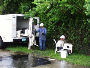
EMS uses Geoprobe direct-push technology for efficient, cost-effective data gathering. Both rigs install soil borings, temporary wells, and discrete groundwater and soil samples, and can drill through concrete slabs up to 4 inches thick.
540U Geoprobe® (truck-mounted) drives rods up to 2.125 inches beyond 30 feet and offers electrical-conductivity logging. D6600 Geoprobe® (track-mounted) is an all-terrain unit ideal for off-road or limited-clearance sites, with an auger head for installing monitoring wells up to 4 inches in diameter.
 Precision surveying
 Precision surveying
GPS survey equipment
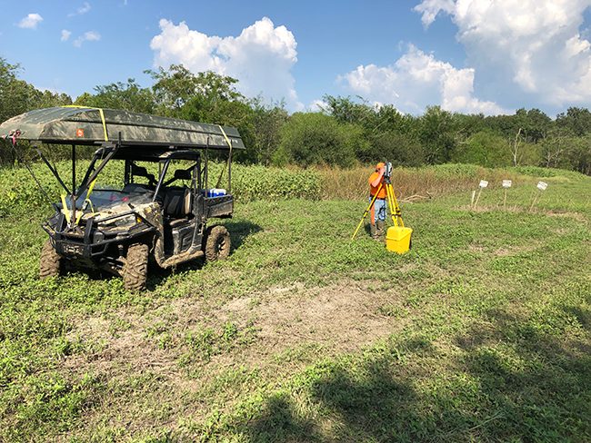
For surveying, we use Real-Time Kinematic (RTK) dual-frequency GPS with wireless base-station and rover receivers, coupled with reflectorless, robotic, scanning-capable electronic measuring devices. The system is ideal for road and site construction and for locating large amounts of existing detail, with precision sufficient for cadastral boundaries — representing the cutting edge of technology for our industry.
 Non-invasive investigation
 Non-invasive investigation
Geophysical equipment
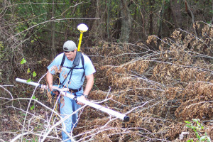
We use non-invasive techniques to map subsurface anomalies affecting resistivity and conductivity — brine spills, buried metal objects, and more. The Geonics® EM-31 automatically downloads conductivity and GPS spatial data (sub-meter accuracy) from roughly 15–20 feet below the instrument. The mapped results pinpoint anomalies worth investigating further by invasive means.
Need a capability we haven't listed?
Ask us — chances are we own the equipment and the expertise to get it done.