
Engineering & Surveying
Surveying & Mapping
Accuracy. Dependability. Versatility. Those traits set the EMS survey team apart. Our experienced crews use the latest technology for accurate boundary location, data collection, and construction staking — from urban properties with a long records history to remote, rural sites with little development history.
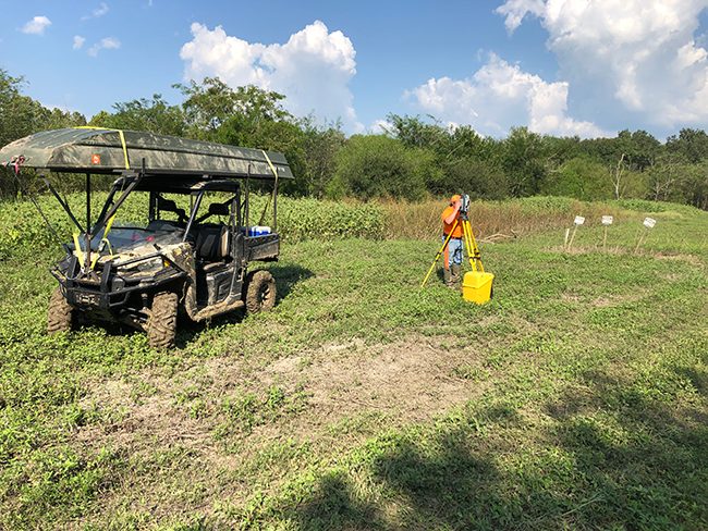
Surveying & mapping services
Go anywhere, get the job done
Our surveying & mapping services include:
- ALTA/ACSM land title surveys
- Topographic surveys
- Unmanned aerial data collection
- Hydrographic surveys, including pre-project and as-built line locates
- Construction surveying (staking & layout)
- As-built surveys
- Route surveys
- Pipeline integrity surveys
- Oil & gas well surveys
- Tidal boundary surveys
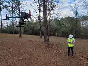 Unmanned aerial data collection
 Unmanned aerial data collection
Eyes above the site
Our enterprise survey drone is equipped with photogrammetric, radiometric thermal, and 200x-zoom sensors — capturing detail that would be difficult or unsafe to collect on foot. Paired with our crews' hydrographic surveying and line-locate experience, it lets us document conditions before a project starts and verify them as-built when it's complete.
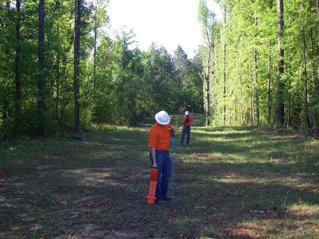 Boundary, construction & specialty
 Boundary, construction & specialty
Surveys for every phase and setting
From ALTA/ACSM land title and topographic surveys to construction staking, as-built, and route surveys, our crews cover the full lifecycle of a project. We also handle specialty work — pipeline integrity surveys, oil & gas well surveys, and tidal boundary surveys — with the aptitude, skill, and tenacity to get an accurate result wherever the job takes us.
Need a survey done right?
Tell us about your site and we'll put the right crew and technology on it.