
Environmental Consulting
Site Selection & Due Diligence
Success in land development depends on evaluating a property for the potential liabilities that can erode profits — or derail a project entirely. Our surveyors, engineers, geologists, and environmental scientists guide commercial and residential real estate projects through the regulatory, design, and permitting process so you can capitalize on your investment.
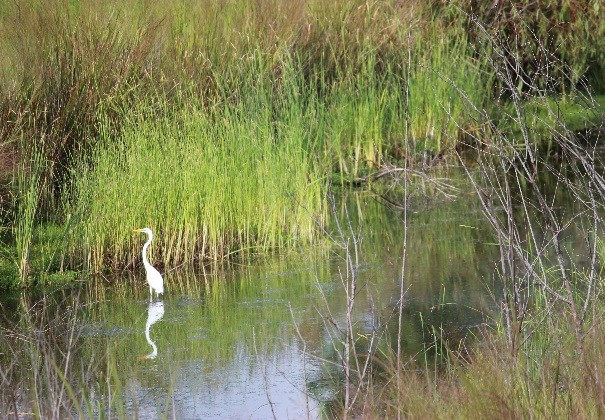
Due diligence services
Know the property before you commit
We meet your pre-transaction, design, and development needs in a timely, cohesive way:
- ASTM Phase I & Phase II Environmental Site Assessments
- National Environmental Policy Act (NEPA) assessments
- Asbestos and lead-based paint inspections
- Wetlands & stream delineations
- Threatened or endangered species surveys
- Cultural resources
- Surveying (ALTA/ACSM, topographic, subdivision)
- Land planning & site evaluations
- Floodplain studies & no-rise certifications
- Geographic Information Systems (GIS) integration
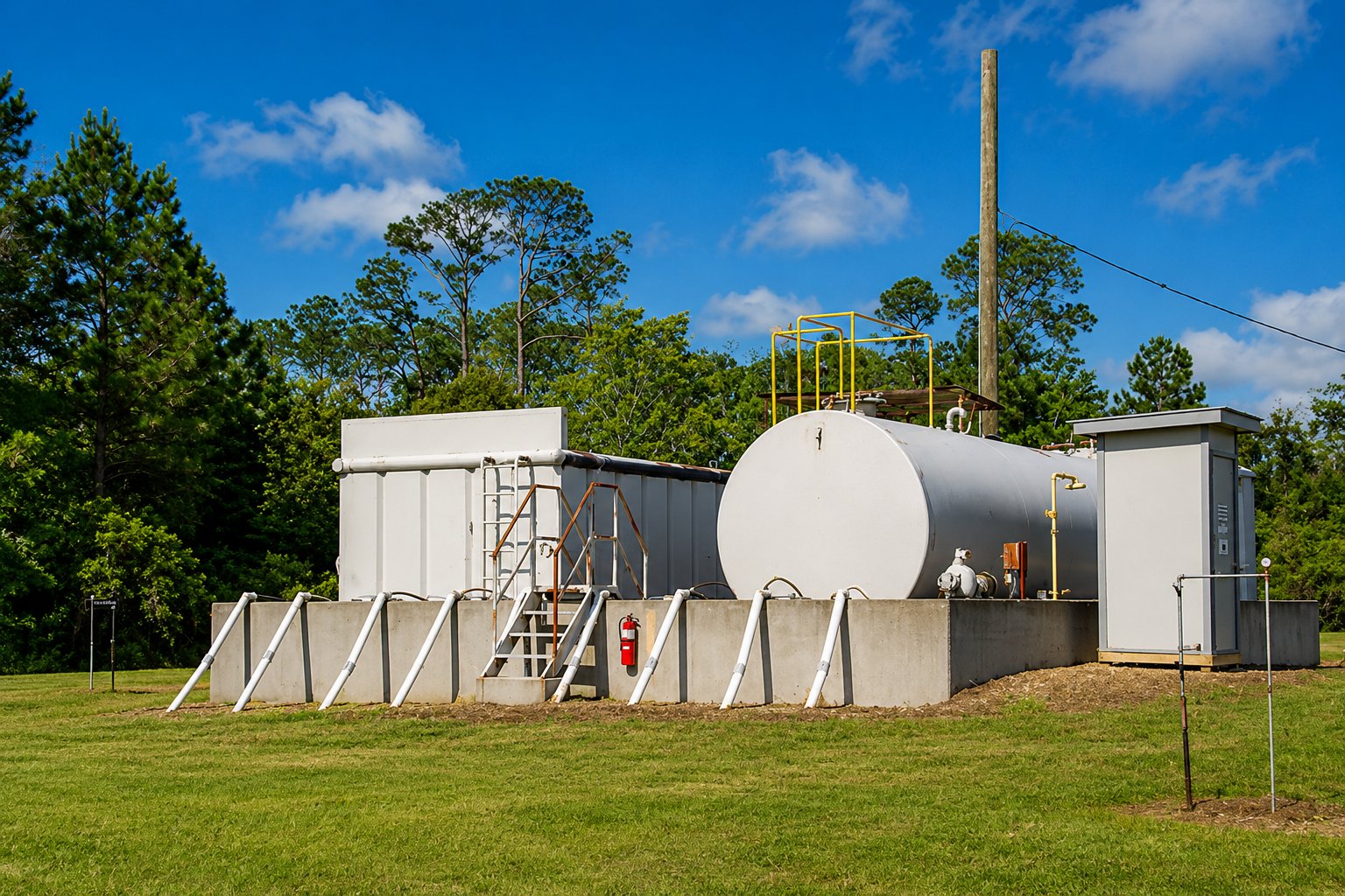 Phase I & Phase II ESAs
 Phase I & Phase II ESAs
Establish your defense to CERCLA liability
A Phase I ESA helps purchasers and lenders satisfy the All Appropriate Inquiry (AAI) defense to CERCLA (Superfund) liability. If a Phase I identifies recognized environmental conditions, a Phase II ESA investigates and delineates the nature and extent of any potential or actual contamination.
Our geologists, scientists, engineers, and technicians have completed numerous investigations across many property types — experience that translates into successful projects for the end user.
 Surveying, floodplain & GIS
 Surveying, floodplain & GIS
The technical detail your project needs
We field state-of-the-art survey-grade GPS and optical equipment, and our surveyors hold current HAZWOPER certification for work at hazardous-waste or Superfund sites. We integrate land planning and site evaluation with a holistic approach that produces a better finished product.
Our staff are experienced with floodplain studies, elevation certificates, and no-rise certifications for development in or near a floodway. And we use GIS to store, analyze, and represent your data spatially — making complex information easy to understand and communicate.
Considering a site or transaction?
Let us evaluate the liabilities and clear the path before you build.